
La Paz and The Death Road
Death Road, one of the most dangerous roads in the world
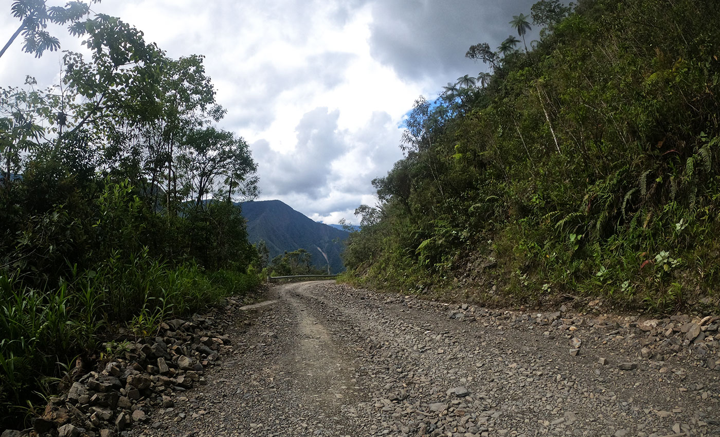
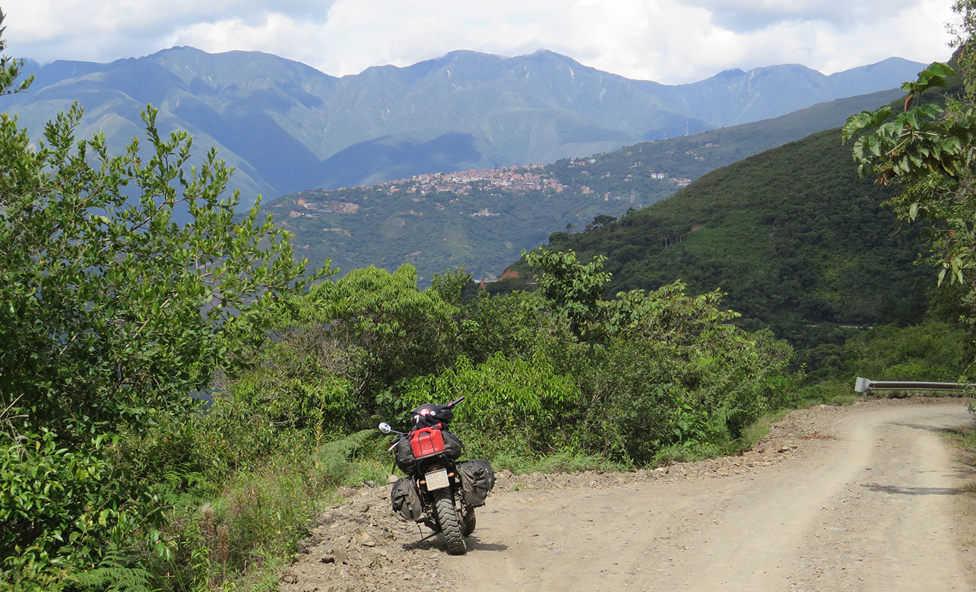
I made it unscathed through El Alto, where the only issue was the traffic: zigzagging through stalls, cars, mini taxis and crowds of people taking no notice of my presence. In the morning I made a visit to the town centre before escaping the chaos, heading towards Coroico along the Death Road. This legendary road connects La Paz to Coroico, a small town situated in the Yungas valley. It was carved out of the mountain by Paraguayan prisoners in the 1930s, is around 60 km long, and begins at an altitude of about 4,600 m.a.s.l., descending to around 2,000 m at Coroico. A new road was constructed around 10 years ago, but prior to that this was the only connecting road and was travelled by buses, trucks, motorcycles and cars every day. A few of its defining features: it consists of a single, unpaved and terribly narrow lane, flanked by terrifying unguarded drops, requires two-wheeled vehicles to keep to the left-hand side (the open side), and has claimed hundreds of lives. No wonder, then, that it was considered one of the most dangerous roads in the world.

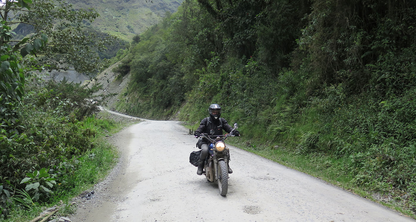
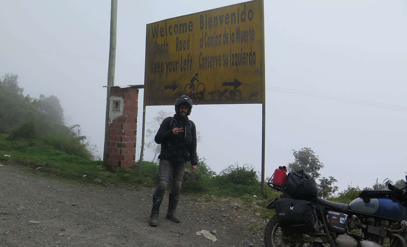
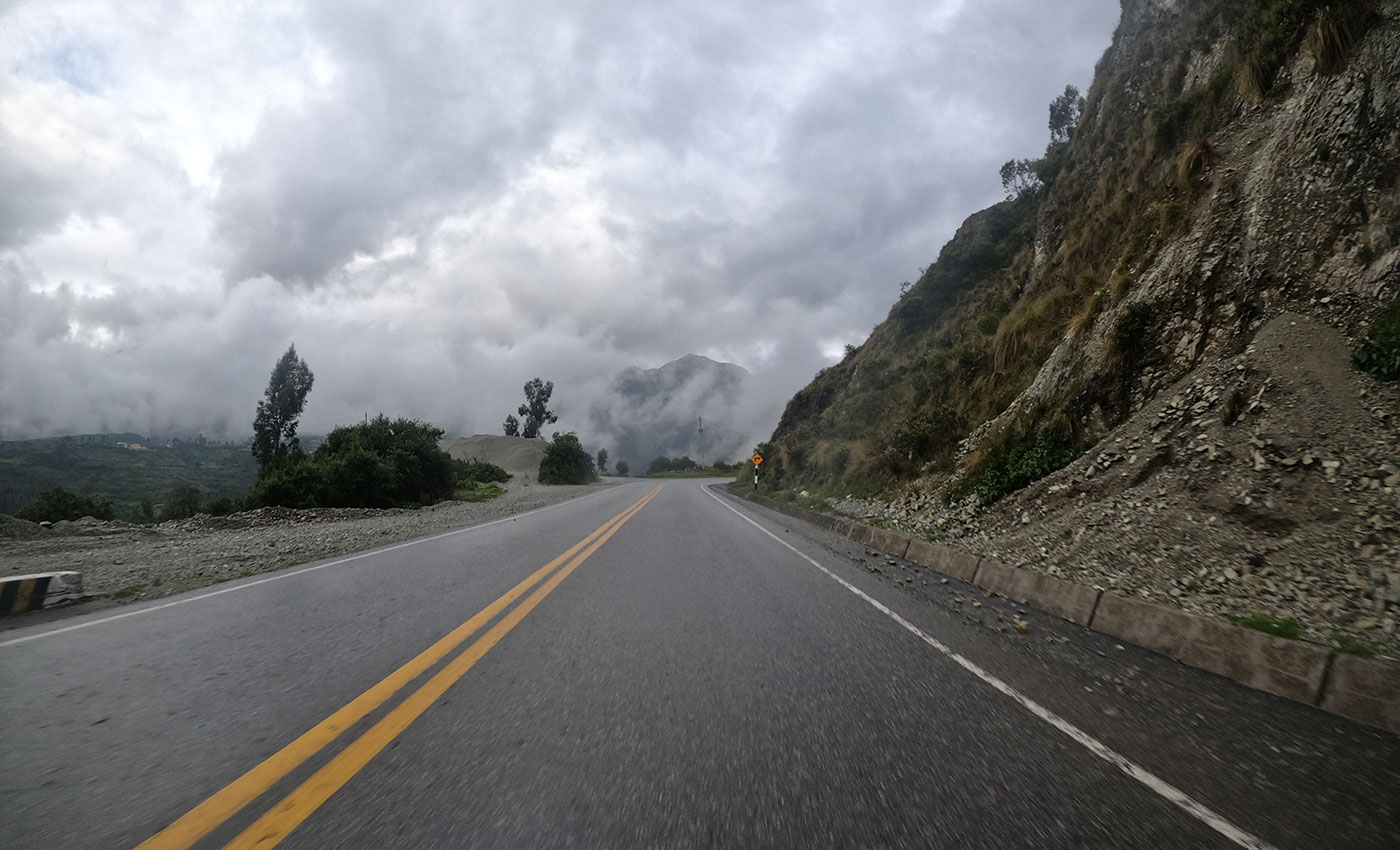
After riding for about an hour, conditions changed: I found myself inside a thick fog, the beautiful landscapes and the sun hidden from view, leaving behind a dreary setting. Visibility had fallen to about a hundred metres, the plant life that had previously seemed to welcome me now appeared almost hostile, and although I had no idea where I was, I could sense that the entrance was nearby. And so it was, with a huge sign looming beside it, reading: “Bienvenido al Camino de la Muerte, conserve su izquierda”. The road was downhill here, and visibility was still poor, but I was finally there! It would be no exaggeration to say that my main reason for going to Bolivia was this road. Just like the Paso de Agua Negra (between Chile and Argentina), these impossible and perilous roads have an indescribable appeal and attraction for me.
As I made my way along the track, my nerves melted away to be replaced by awe.
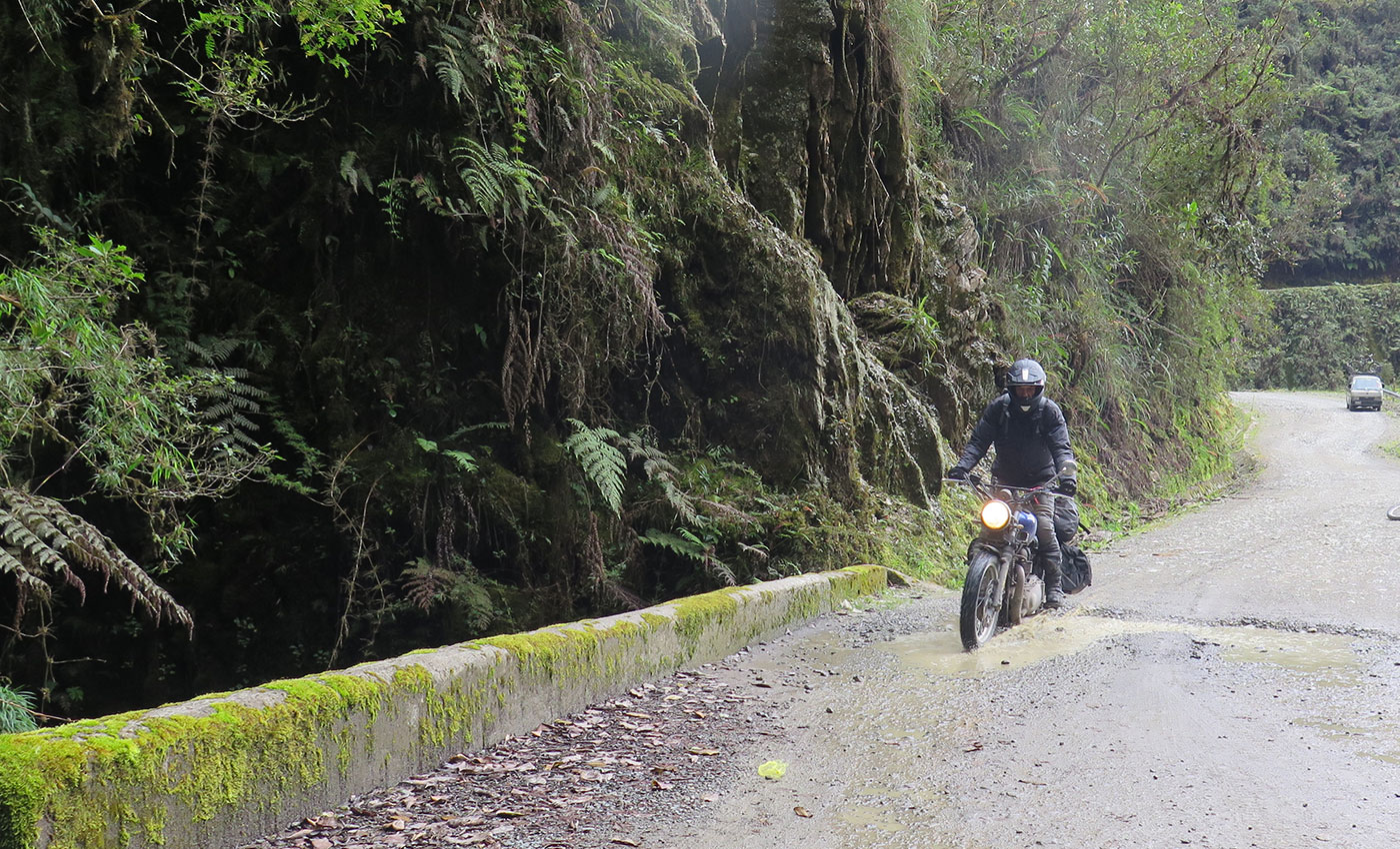
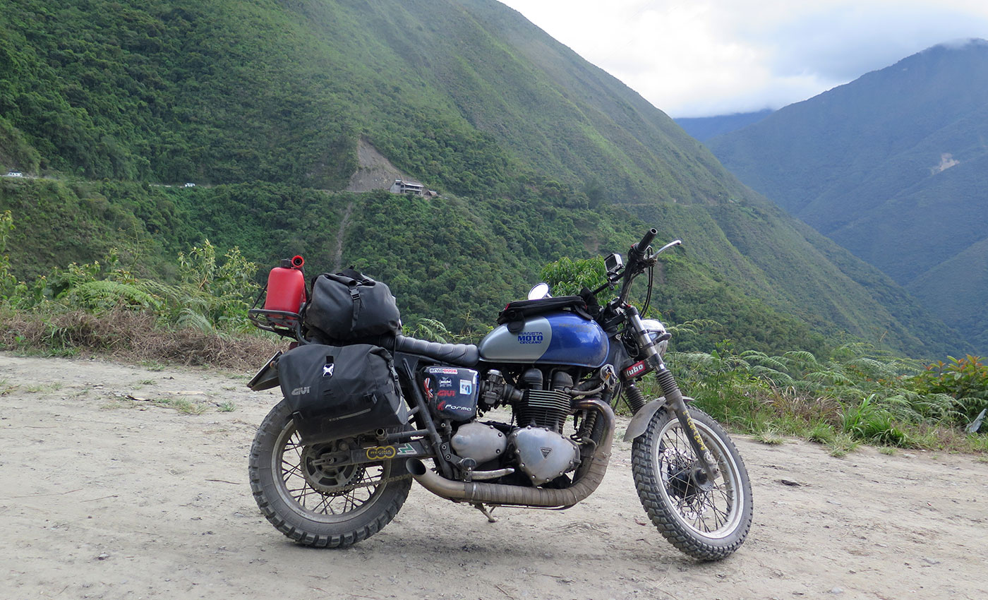
The Camino is a magnificent road; though incredibly narrow, it winds its way through almost unspoiled nature. On the left-hand side is a sheer drop that melds into the panorama that stretches out before you; on the right-hand side is the mountain with its streams, miniature waterfalls, trees and thousands of other plants, which even sprout up in the middle of the road at some points. Another striking feature was how often crosses are to be found, scattered along the route in memory of countless victims.

For me, full awareness of how dangerous the Camino can be came when I paused at a particularly narrow bend, which offered a view of the rest of the route from the other side. From the road, you couldn’t get a true picture of how high it was above the bottom of the valley, or how steep; but from that corner it was possible to fully appreciate the thin white line carved into the side of the mountain, as though it had been drawn there. The overriding feeling was one of instability: at many points, it seemed that the road might crumble away beneath me at any moment. I wondered how heavy vehicles had managed to drive here, and what they did when they met another coming from the opposite direction, considering that there was only space for one car to pass and at some points not even that.
I made it to the end of the camino, where a sort of checkpoint had been set up to take payment for the exit ticket. You read that right, a ticket! The Camino has become a kind of roller-coaster for thrill-seeking tourists, who can enjoy a heady rush of danger for the price of just a few pesos.
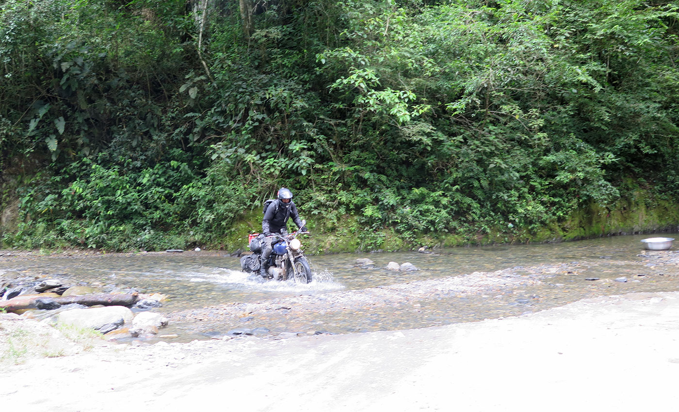
The next day, I set out again for Potosì: at a distance of around 650 km, I wouldn’t make it in just one day. My plan was to stop along the way, hoping I would find a roof over my head.
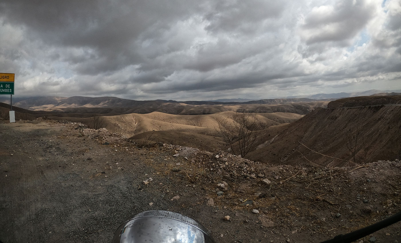
The new road was a delight, and in order to avoid finding myself stuck in another La Paz traffic jam I chose to take a “shortcut” which diverted through the mountains a few kilometres before La Paz. After a few hours, I had managed to make my way onto the road to Potosì, crossing the desert landscapes on the plateau that had played host to the Dakar Rally. That evening, I arrived in Challapata.
.webp)
Potosì and the Mine
In the morning, I set off again in the direction of Potosì: around 200 km of spectacular curves snaking their way through the barren landscape of the Andes at around 4,000 m.a.s.l. I reached Potosì, the world’s highest city at an altitude of around 4,067 m.a.s.l., a little after lunchtime.
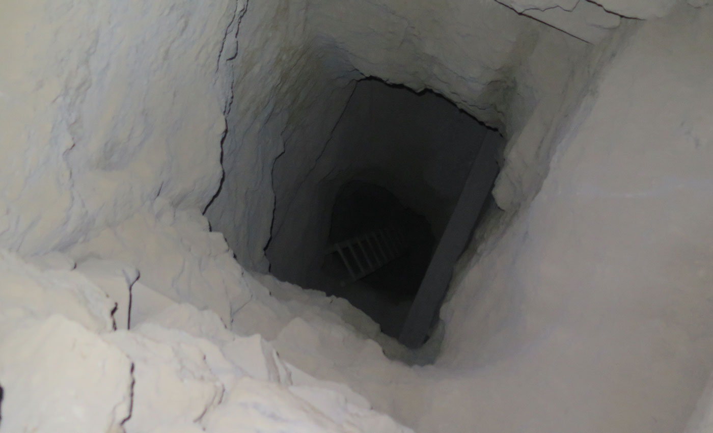
I immediately began my search for a tour operator for a visit to the Cerro Rico mine: the Cerro Rico mountain looming over the city is also one of the world’s richest silver deposits.

.webp)


.jpg)