
Journey to the Centre of the Earth
Discover Iceland by Motorbike
We will reach the northernmost capital of the world.
The sheep outnumber humans 2-1. The water is so pure that it can be consumed without any special treatment.
There are more cell phones than there are people.
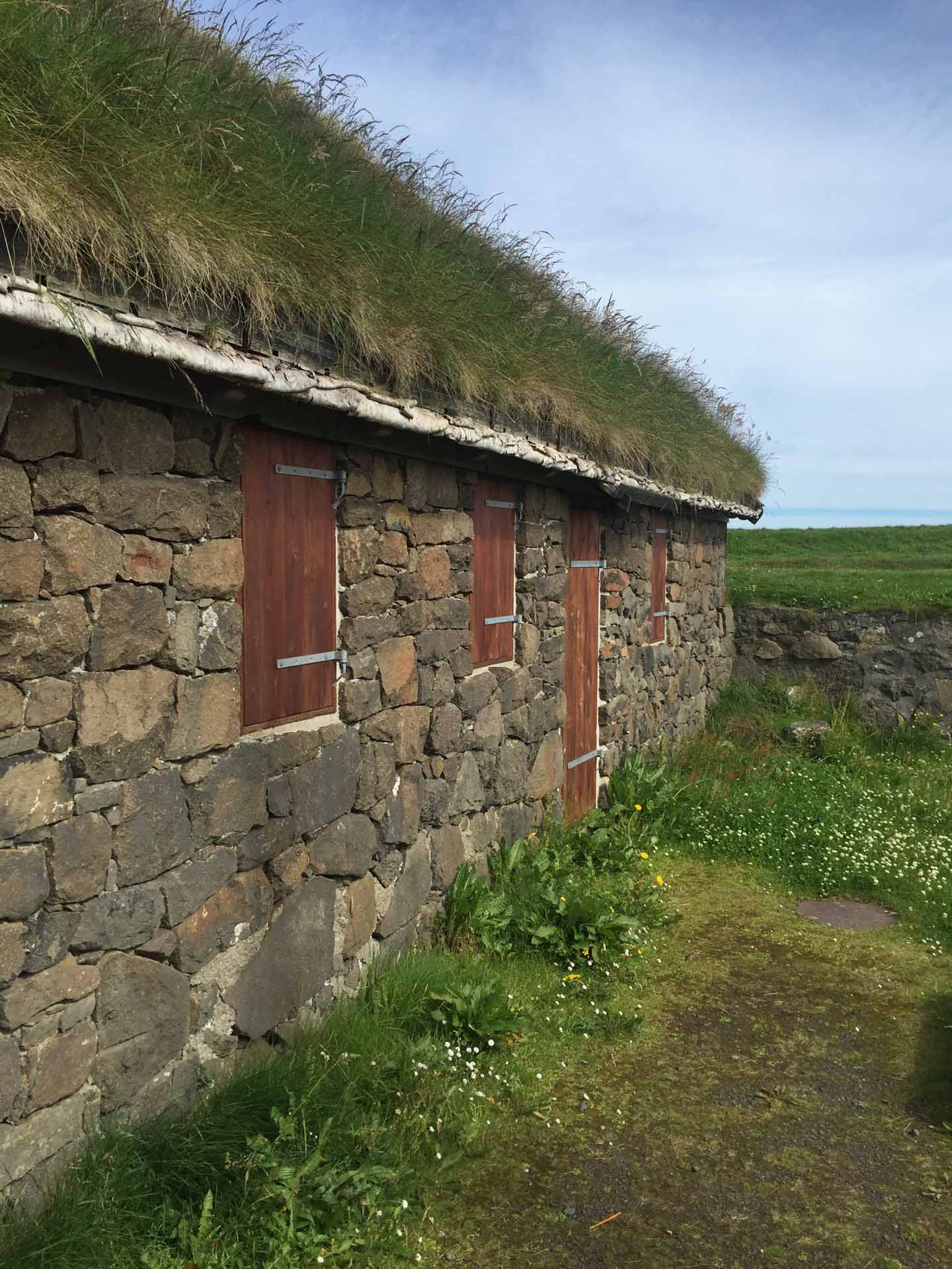
There are no native trees and those present were planted by the residents.
It seems like only yesterday that we named the journey and now that we are at home we are overwhelmed by the memories…
On the night of the Epiphany, a night when a mythical old lady brings gifts to the local children, we departed from Barcelona with childish enthusiasm to cross Europe and reach the port of Hirtshals in Denmark where we would embark on a 36-hour journey by sea.
Our arrival at the port of Seyðisfjörður was just a small taste of what awaited us on the island. Once we disembarked the temperature welcomed us with its wonderful 5 degrees Celsius. We just had enough time to complete some paperwork before we set out to travel across the island in an anti-clockwise direction.
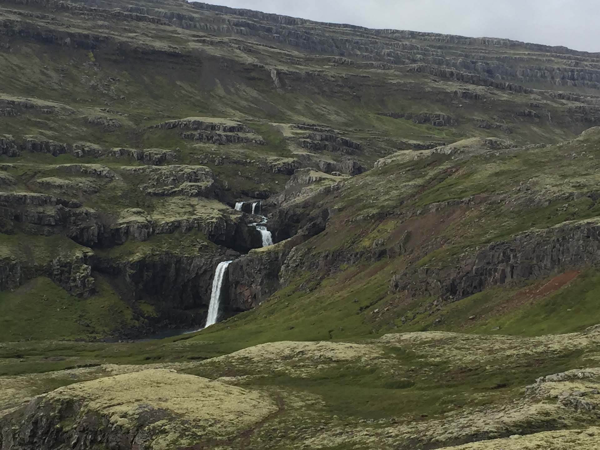
Once we left the village we found ourselves in front of the small waterfall of Gufufoss and immediately felt that the landscapes were going to be a continuous surprise…
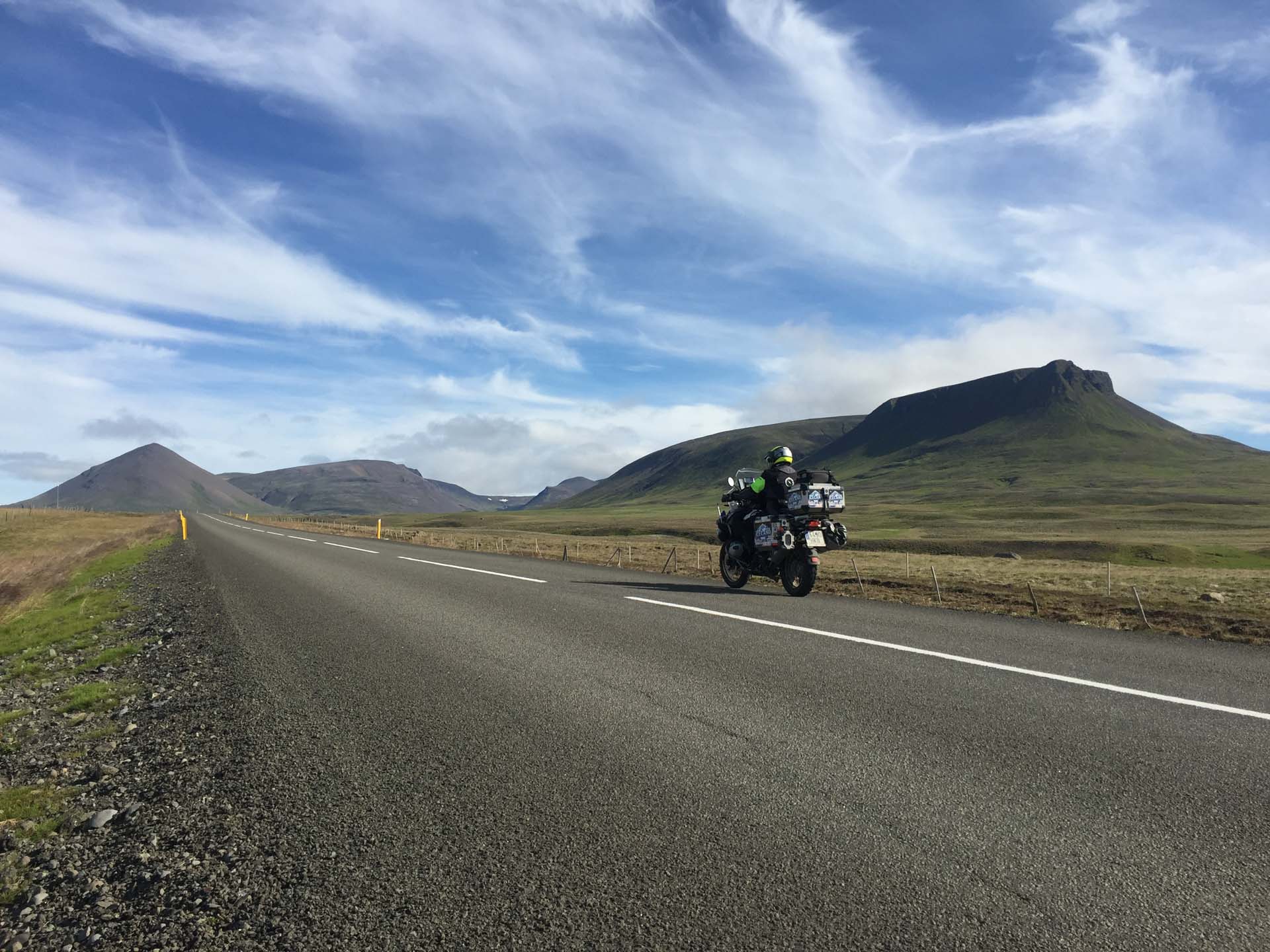
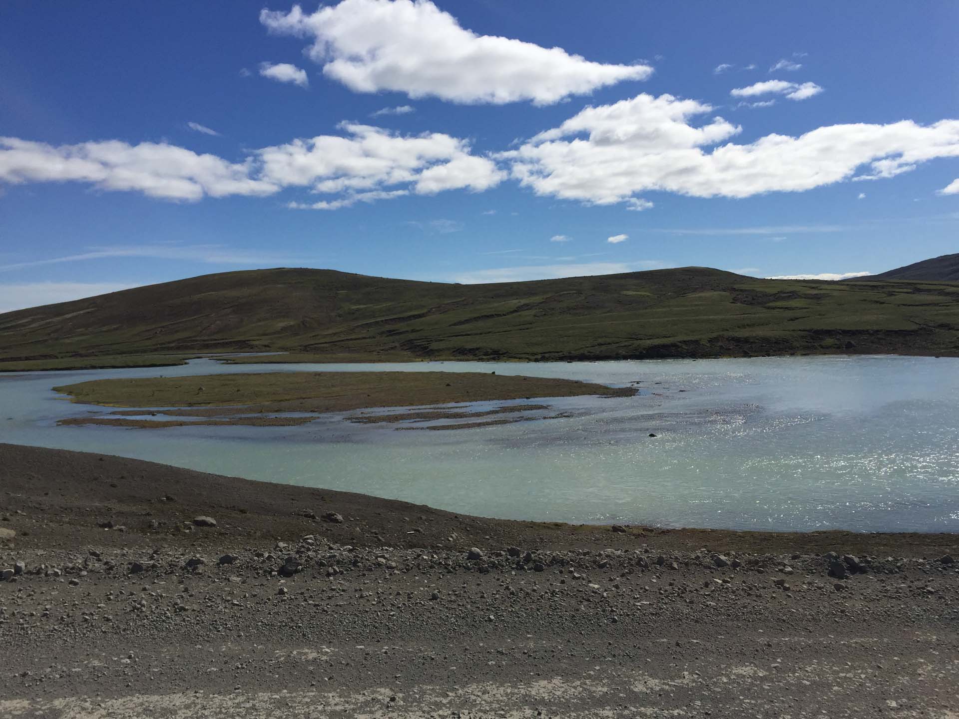
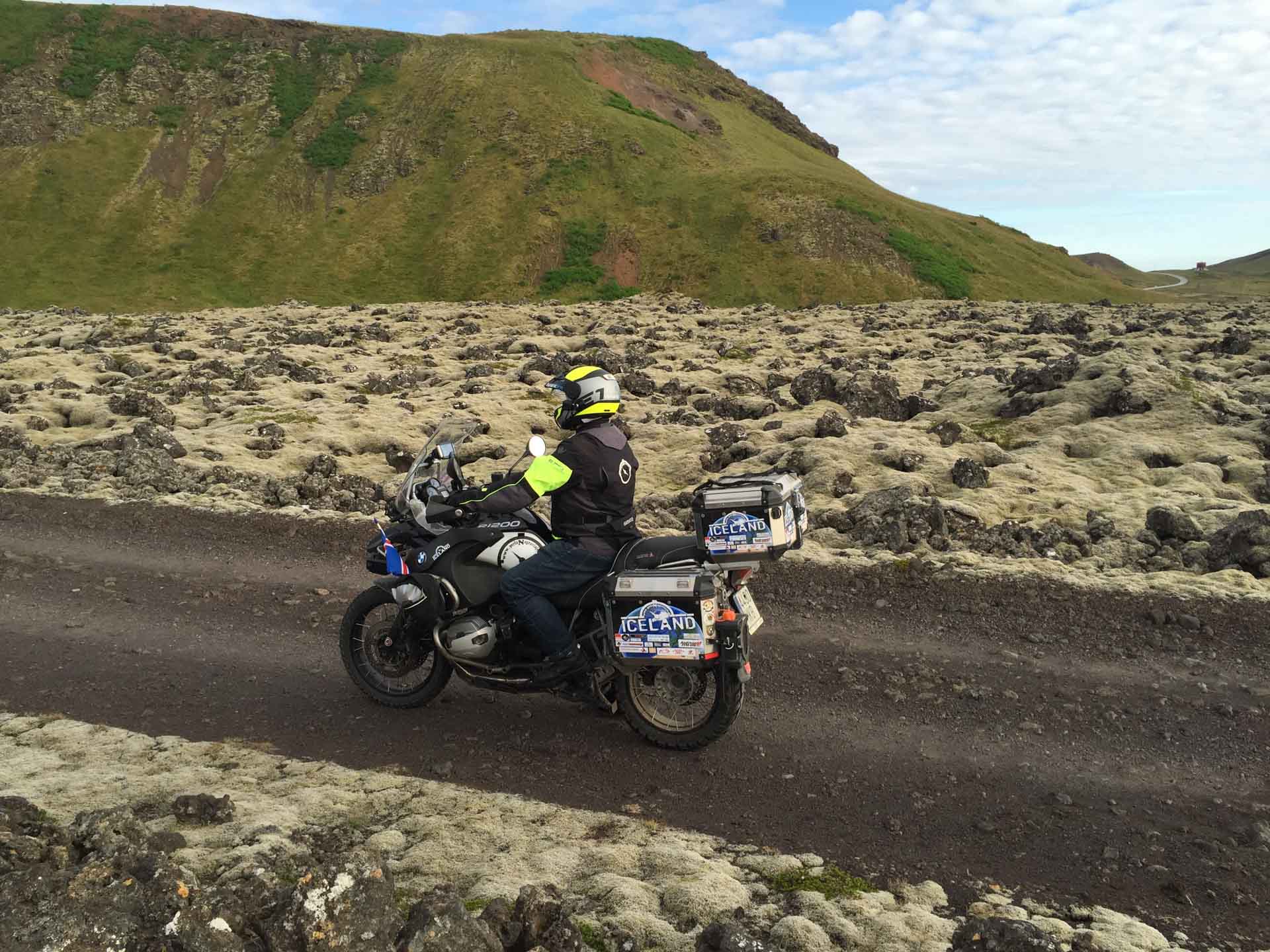
Iceland is a park of natural attractions, everything is superb, in the blink of any eye it transforms from a green meadow to that of a lava field and the landscape changes from one kilometre to the next. The Land is alive and this is where it breathes from. Rivers, mountains, valleys, fissures, waterfalls, endless moss fields, stone prairies…
We leave Route 1 which is a national road (there is only one paved road, the others are unpaved) and head to Dettifoss, along a track that taught us how hard it must be to live here. Our right hand case does not withstand the jolts and is left behind and in time will probably serve as a troll’s tomb!

After rearranging our luggage and tying the backpack with the straps on the right side of the bike we continue towards the waterfall. And not just any waterfall, as every second brings the equivalent of a stadium full of water which over time has created a canyon of extraordinary dimensions.
We follow the path up to Hverir where the mountain breathes through steam fumaroles. A little further north we are able to take a dip in hot water which compensates for the cold baths at Lake Myvan.
Just a couple of kilometres away we reach the Grjótagjá cave whose entrance seems to be a set of boulders arranged like Tetris and inside, it houses natural thermal waters with a temperature of around 60ºC.
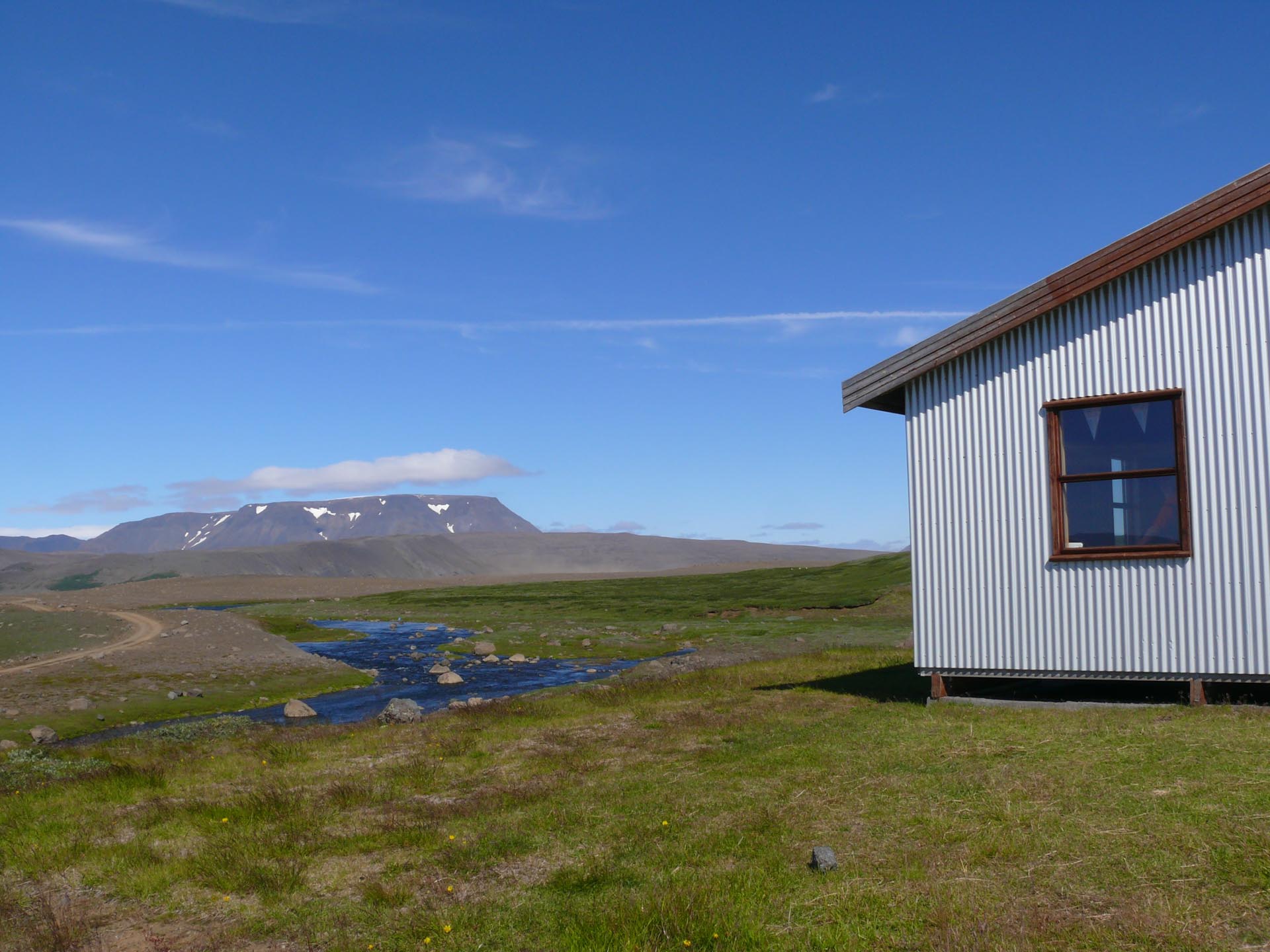
We are venturing through the north of the island and despite the fact that we are almost in the month of August the temperature is fairly low and we rarely encounter other vehicles on the road.
We continue along the N1 to Godafoss which marks a watershed moment for the Icelandic culture. It was here, in the year 1000, that the Vikings abandoned the gods for the Christian religion by throwing their statuettes in the waterfall that we just passed.
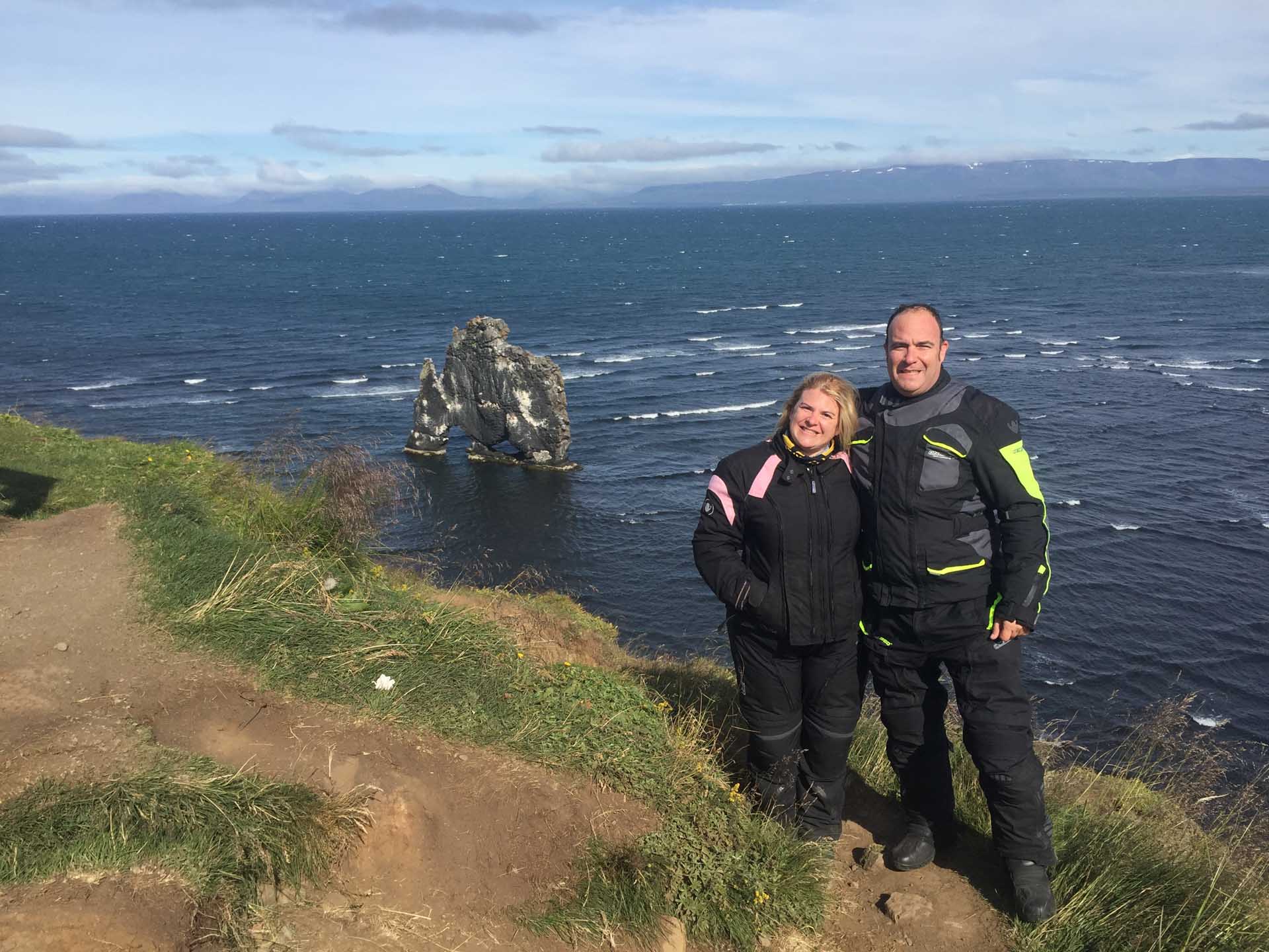
Now the wind steals the show, in some moments it pushes us, in others it whips us but we must reach Hvitserkur, a cliff on the side of the elephant-shaped coast with breathtaking views.

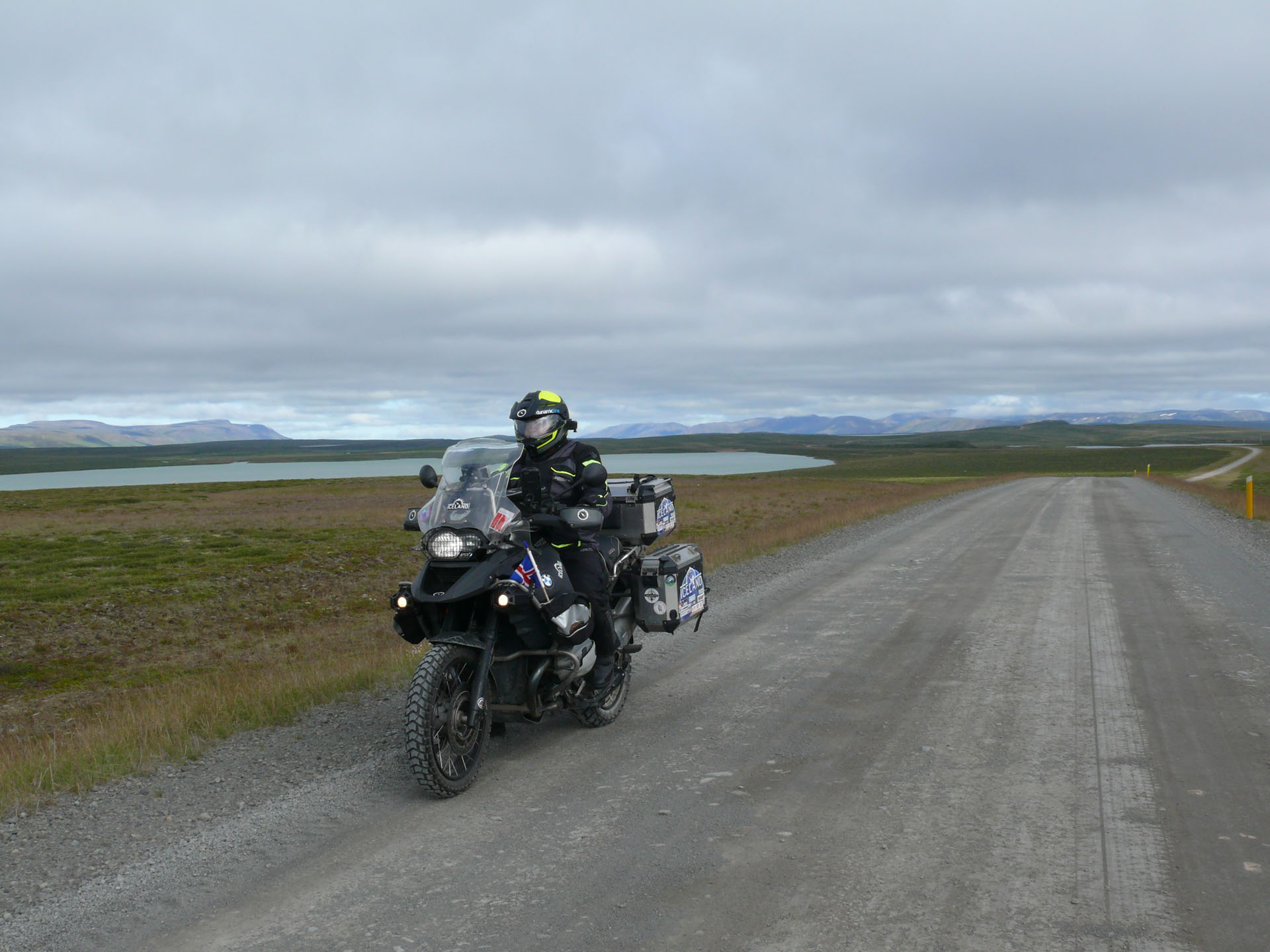
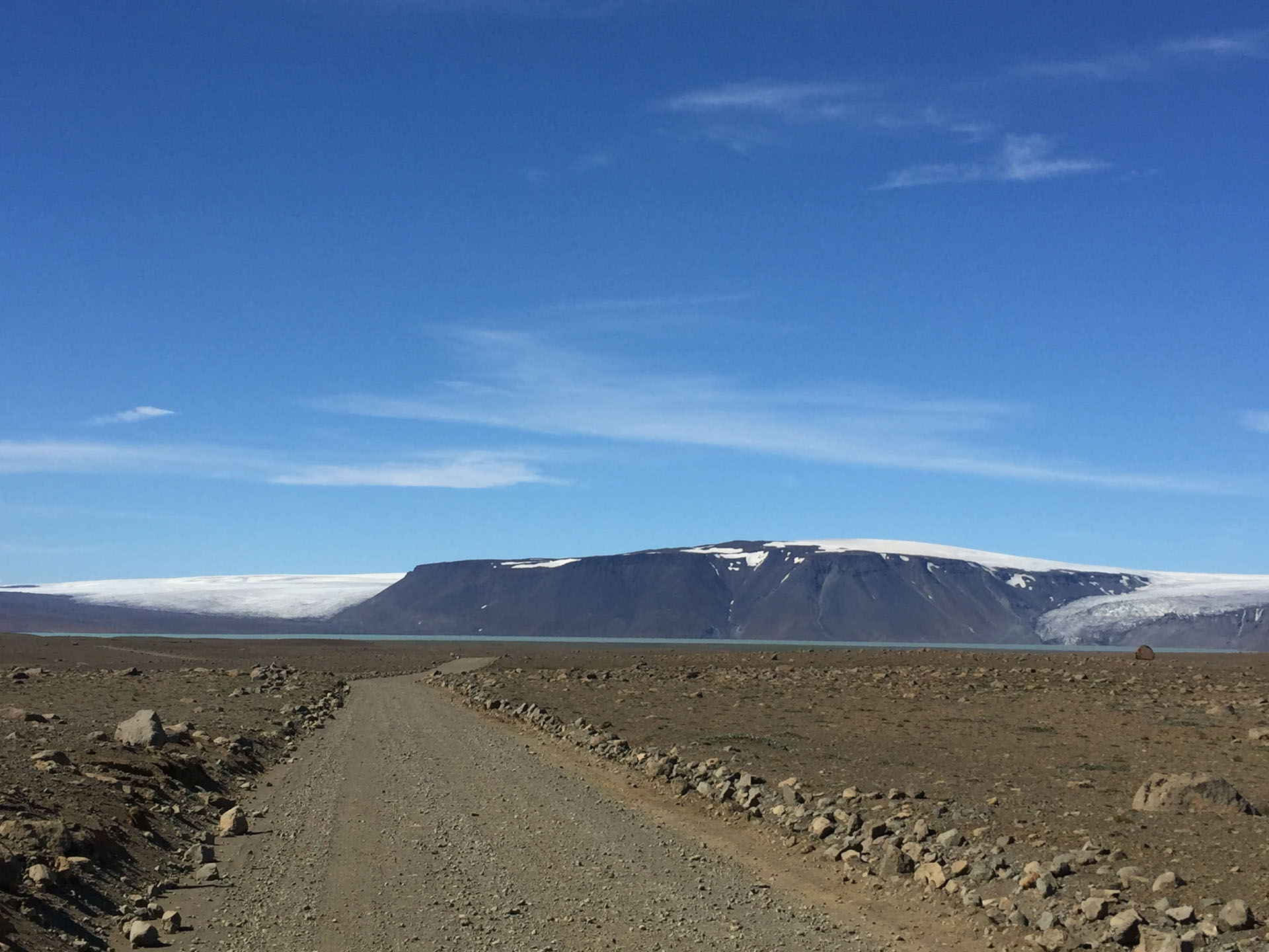
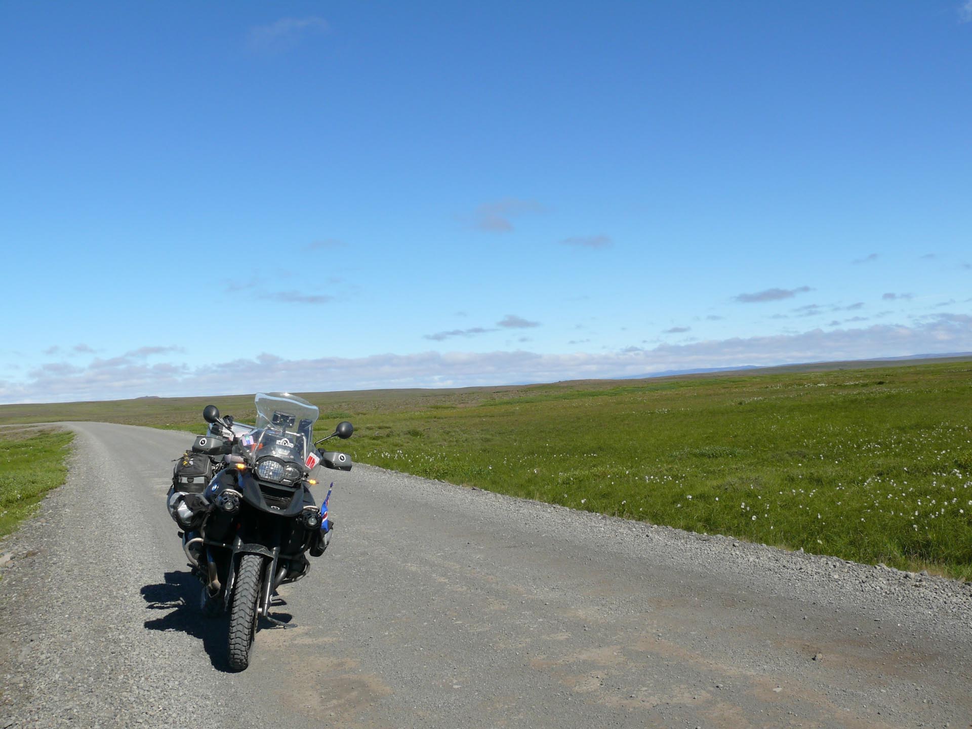
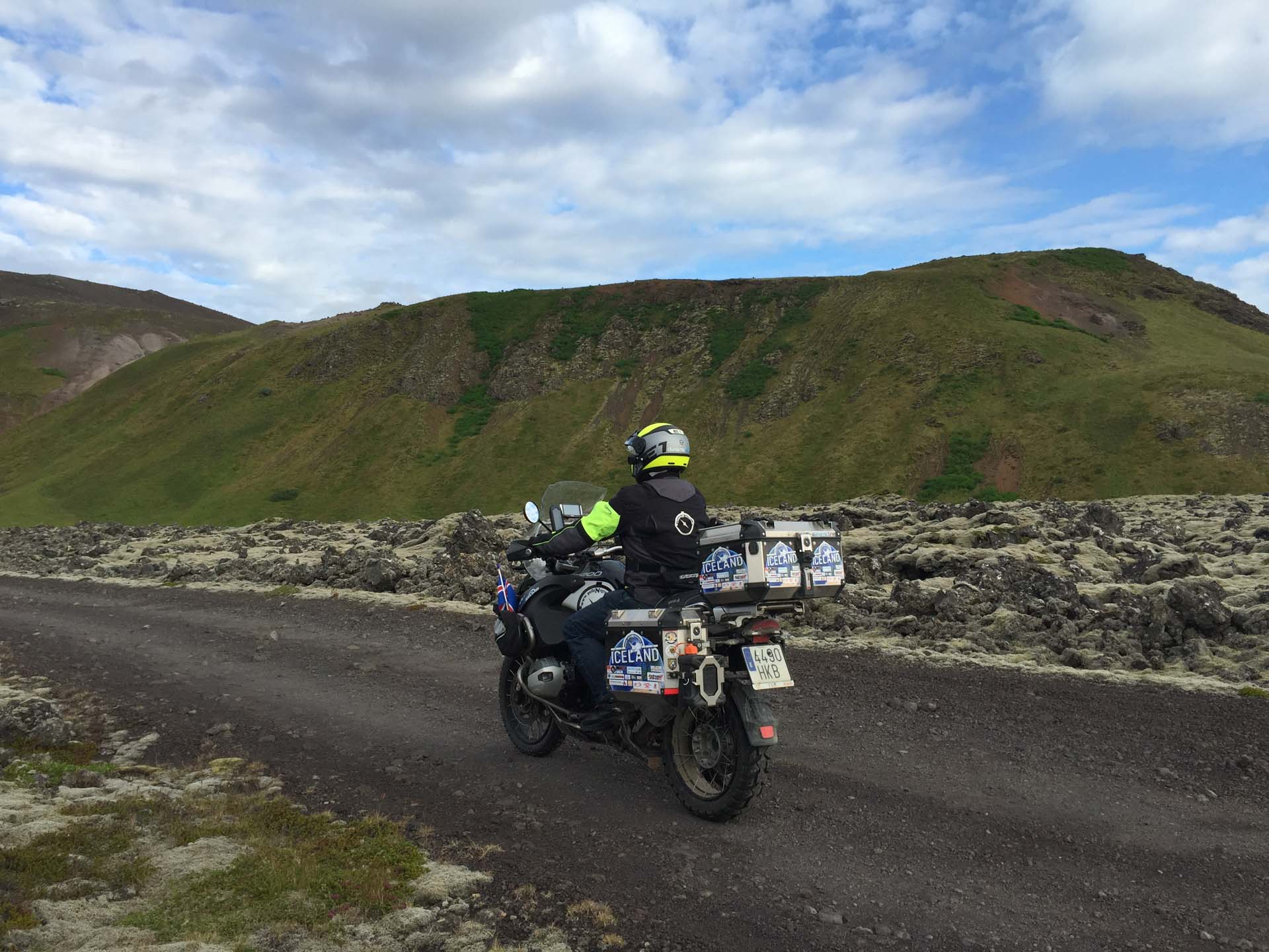
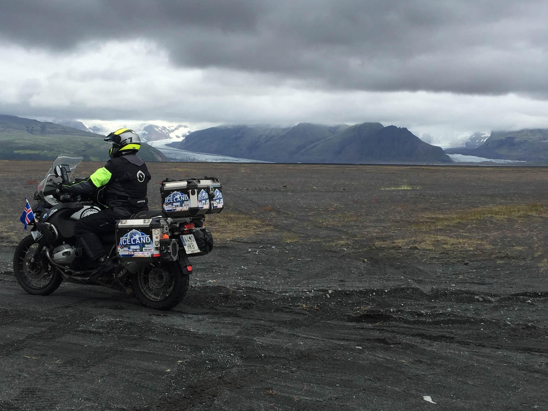
The hardest day of the trip was the one in which we crossed the island transversally from north to south on route F35.
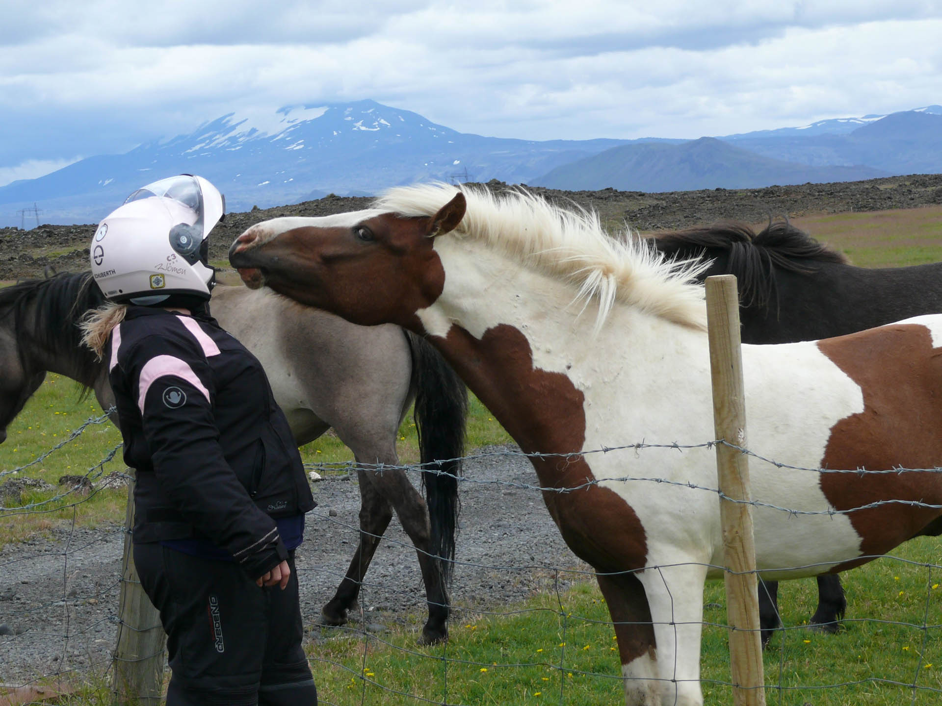
250km of journeying with indescribable views, passing between two glaciers, volcanic earth fields, moss prairies, brooks and the sheep, which walk in packs of threes.
It wasn’t easy for two of us to cross it with a fully-loaded bike.
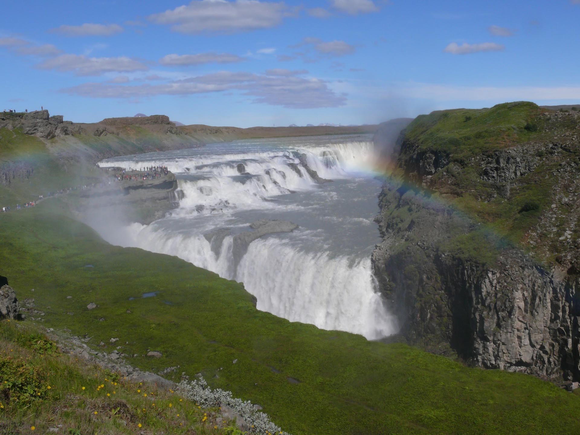
At about 150km into the journey we thought we were dead, at 180km we wanted to be dead, at 220km we were sure we were dead and when we got to Gullfoss we realized we were die-hards.
In Montse the clock dial broke, a bolt from the central stand blew off, due to the excessive vibrations the plugs for the cigarette lighter socket became disconnected, the seating connected itself to the heater, the left hand case resisted stoically to the overweight due the absence of the right hand case and it very much resembled a motorcycle on the Paris-Dakar rally. That was our run-down of our journey on route F35.
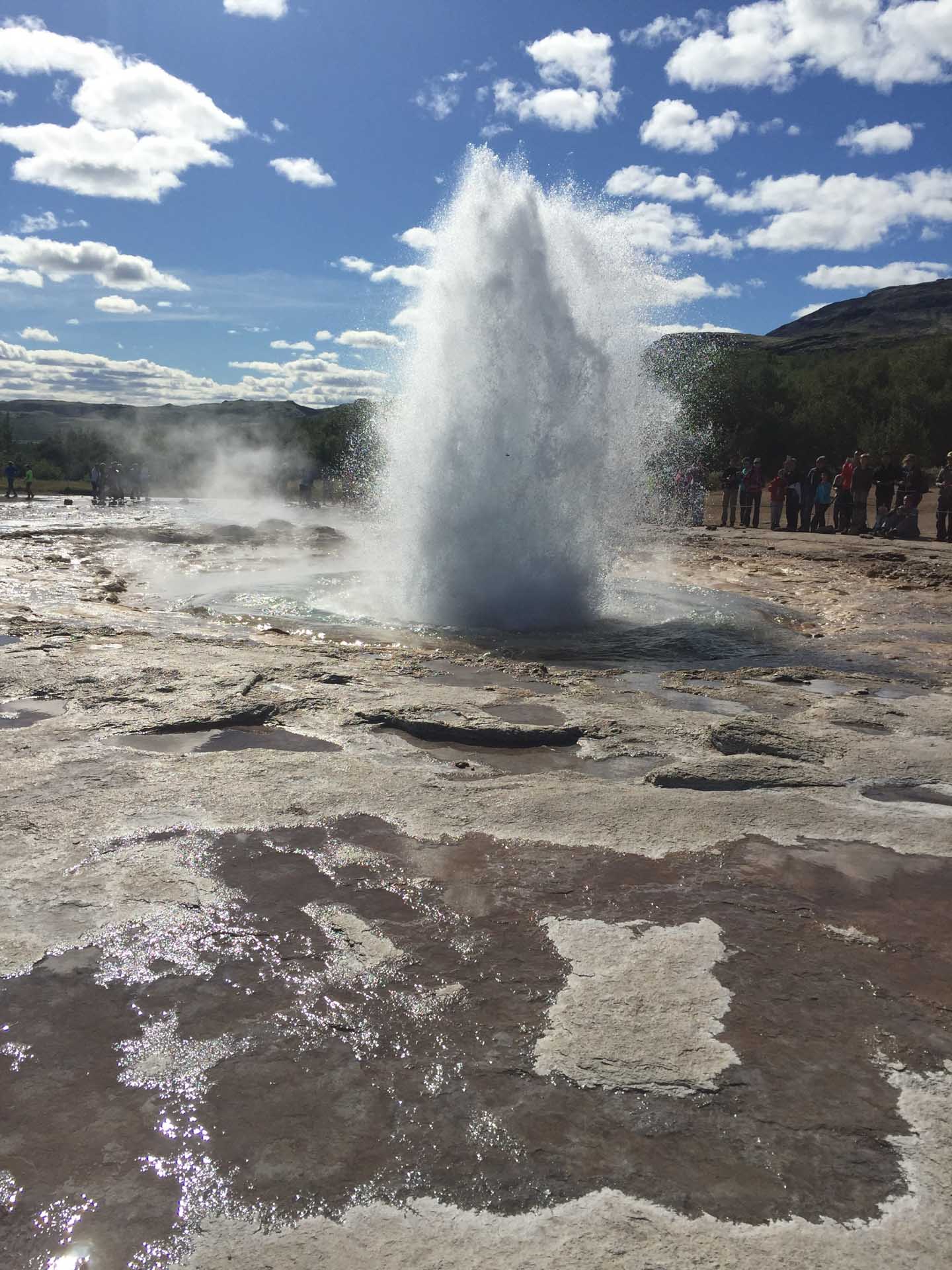
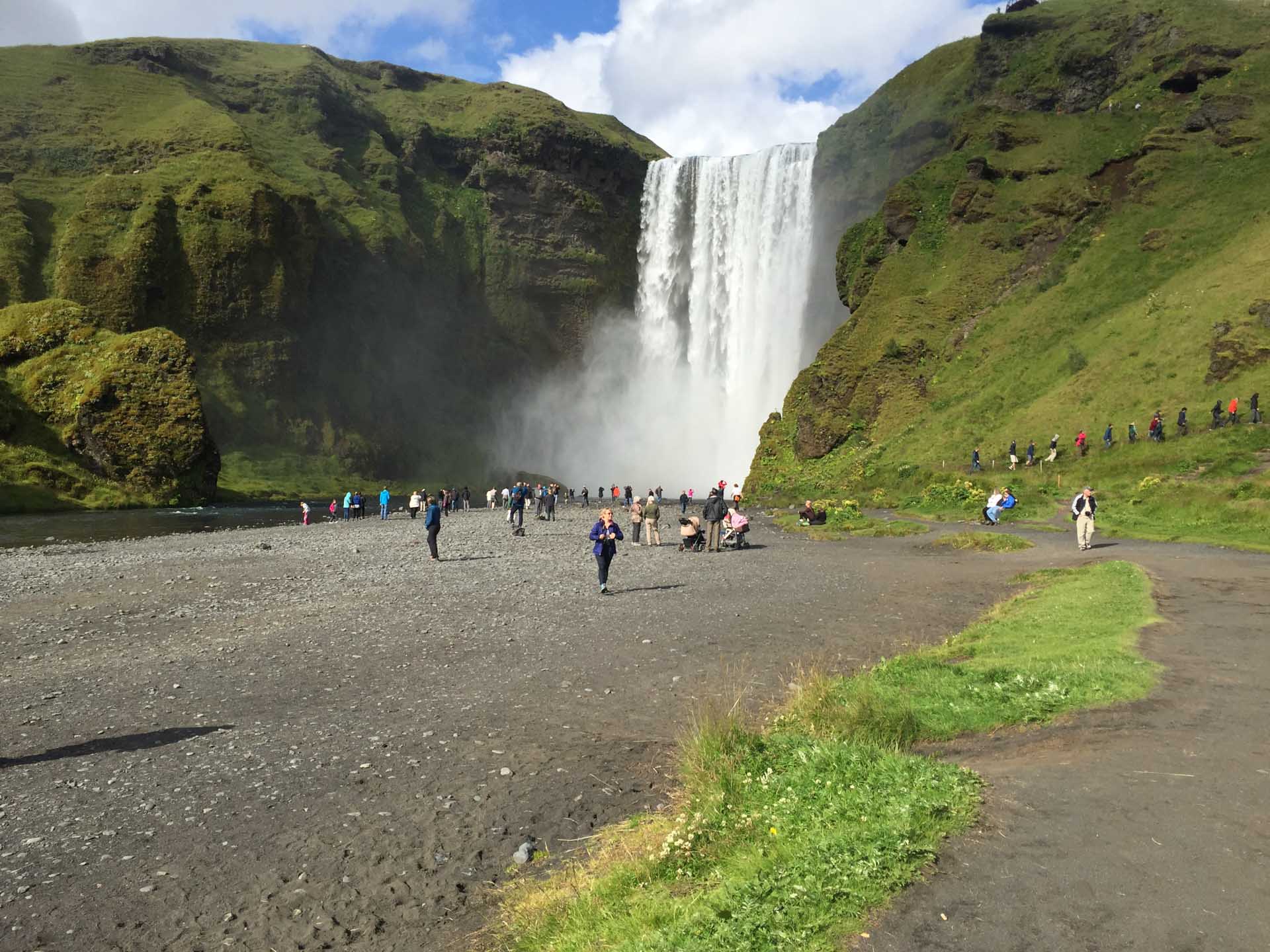
One of the most impressive things about the trip was to see Geysir’s geyser which sprays water about 50 meters high every 8 minutes and gives its name to such natural phenomena all over the world.
We then moved further south of the island and we immediately feel the temperature transforming to a more pleasant 14ºC. As this is a much more touristy area being close to both the capital and the airport, there are far more people.
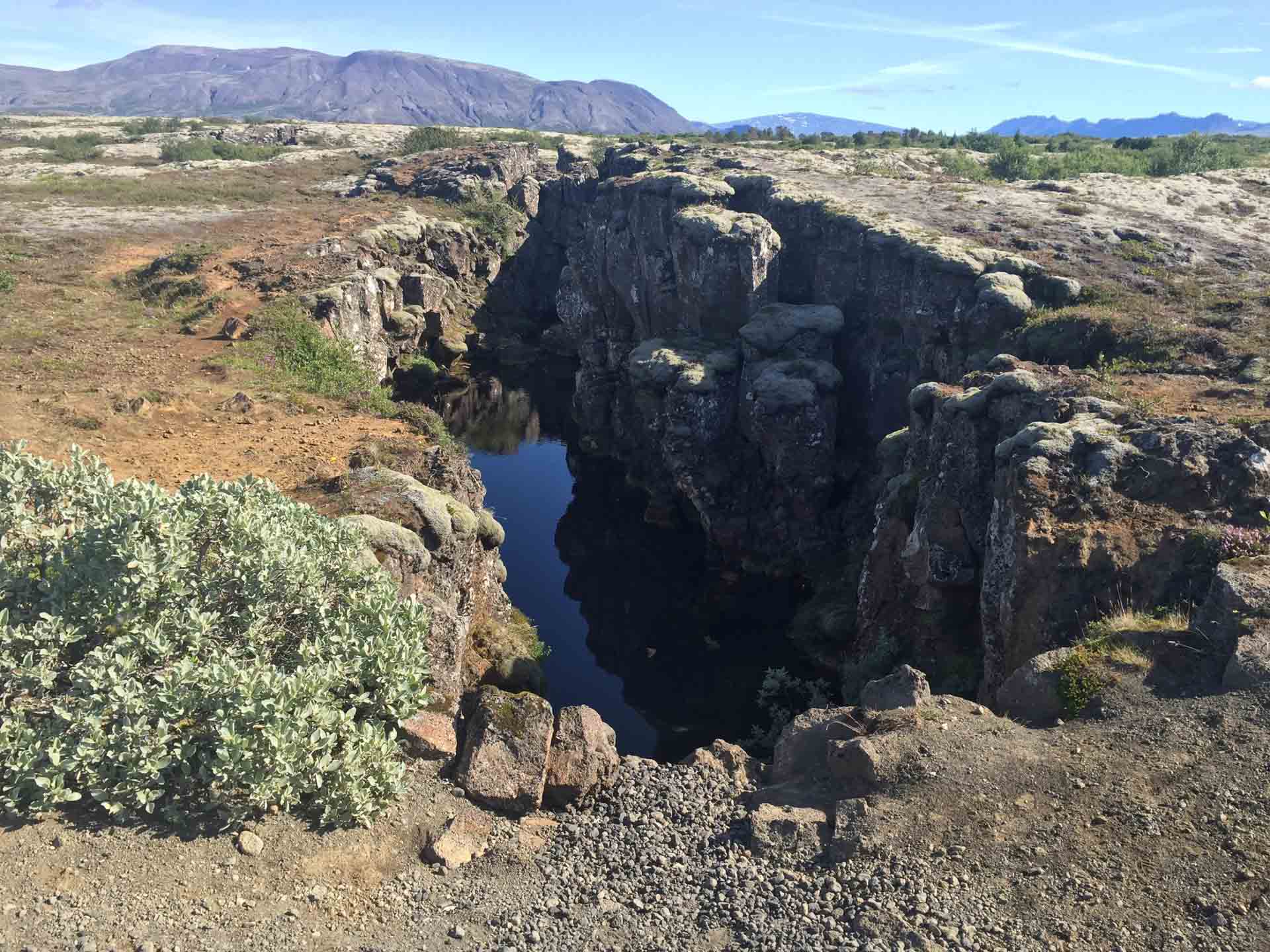
The continental fault between America and Europe is evident here: we are in one of the few places in the world where the union/separation is visible.

Without moving from the island we went from one continent to another. Then we reached the capital, Reykjavik. At a roadside kiosk we stopped to taste the best hot dogs in the world. We took the opportunity to admire the Sólfar (Sun Voyager) and the cathedral.
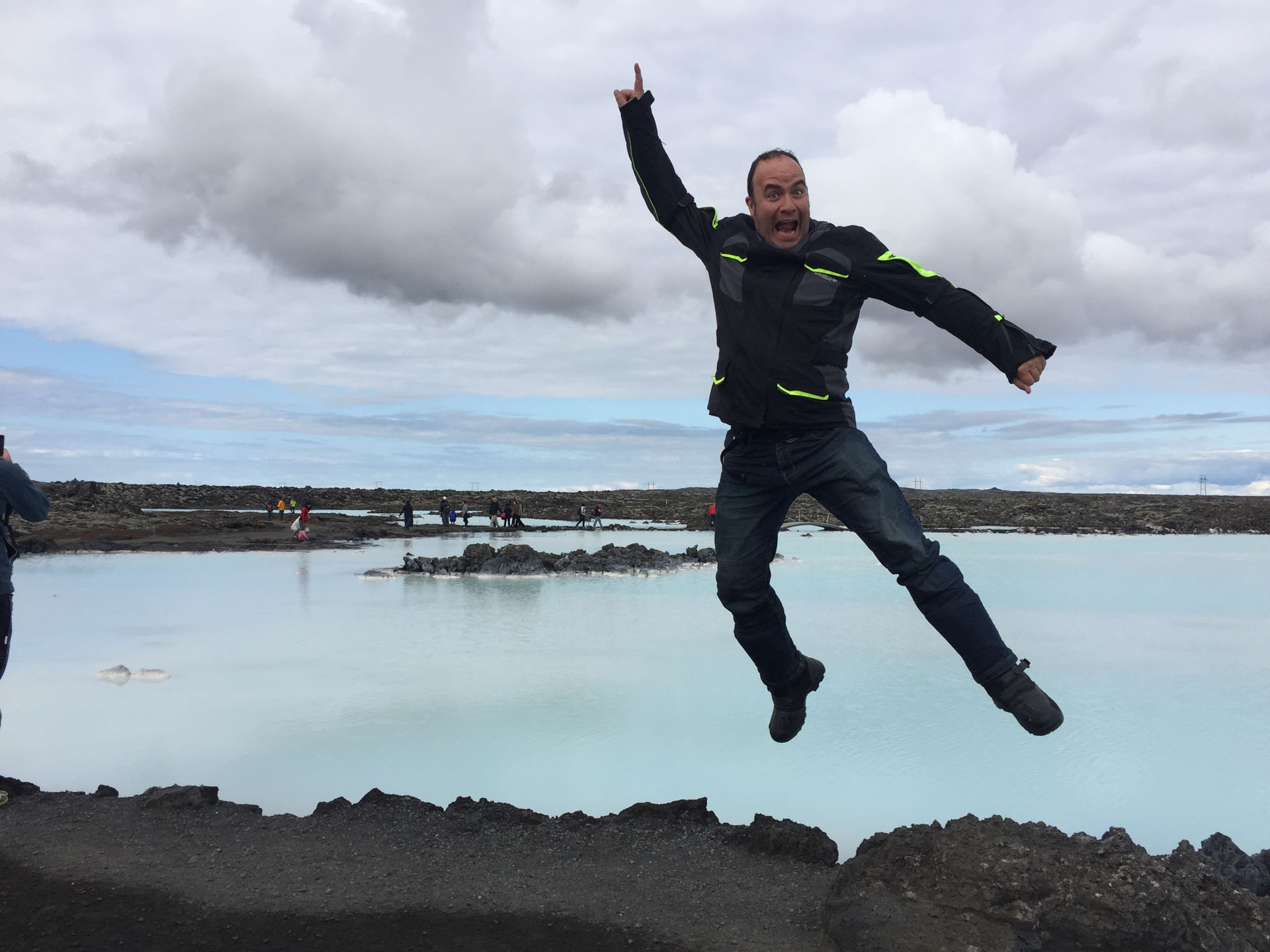
We couldn’t pass the Blue Lagoon without taking a bath in its thermal waters and wear the famous silicon mask and doing it by 11pm made it even more magical.
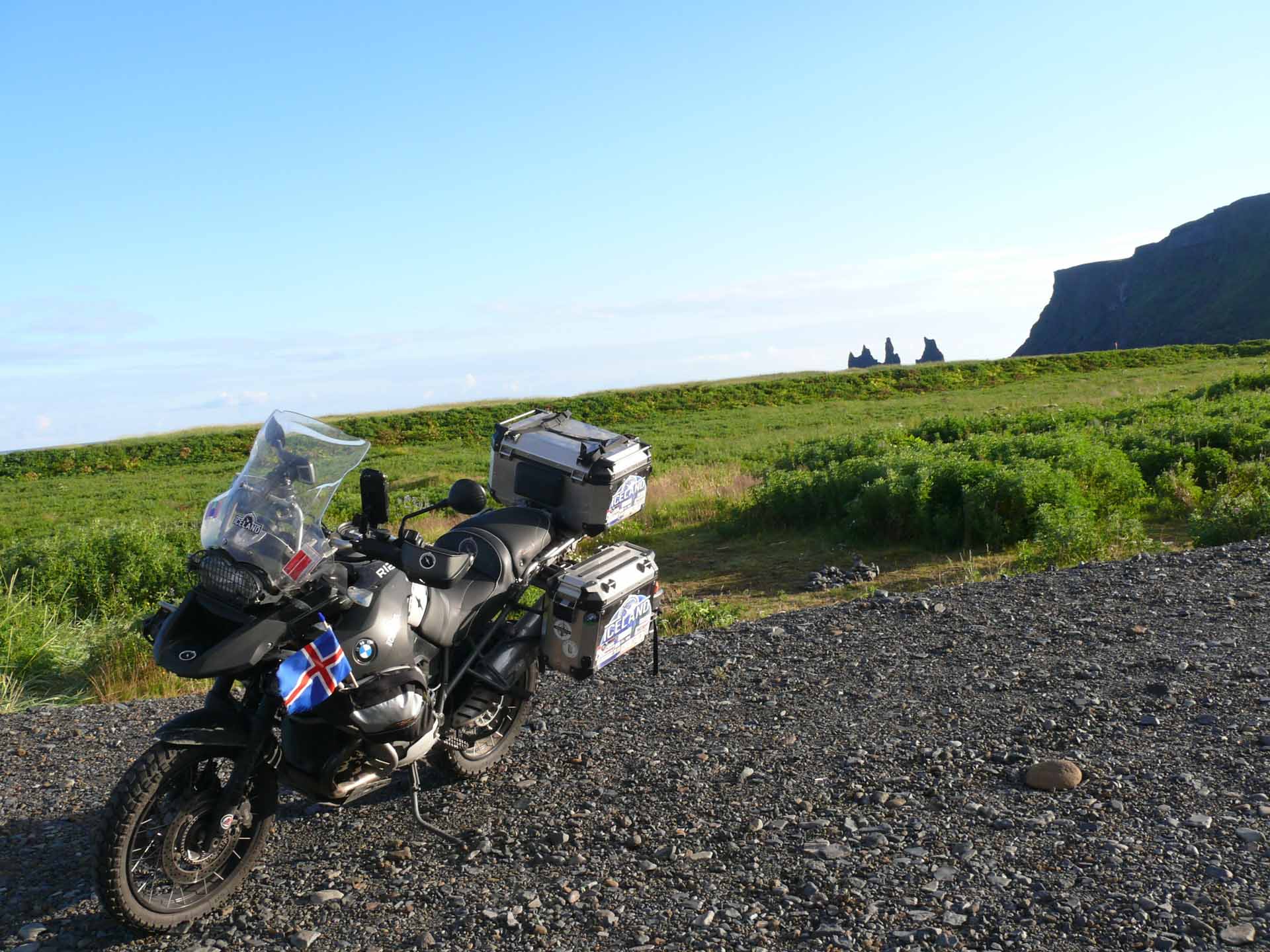
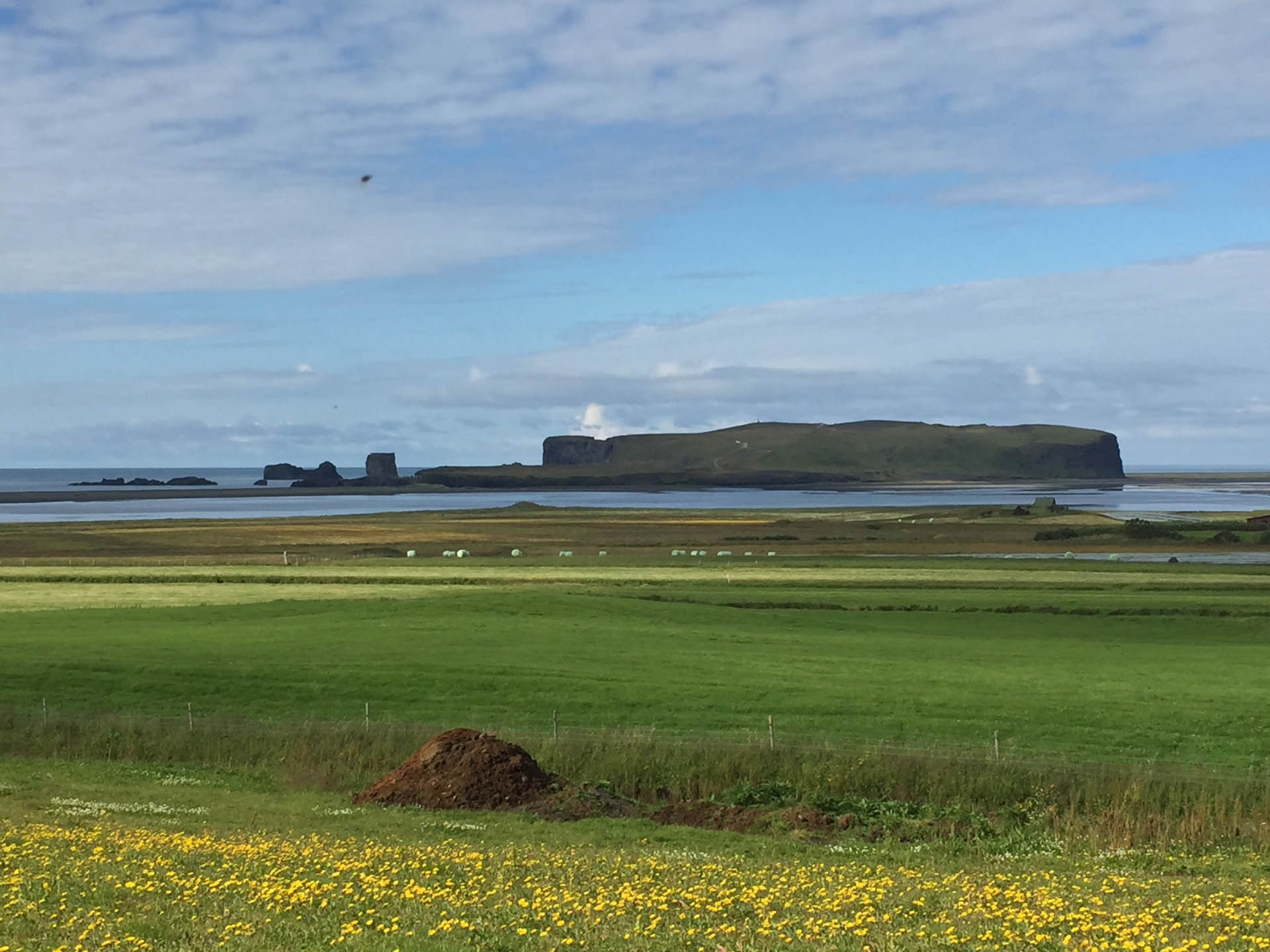
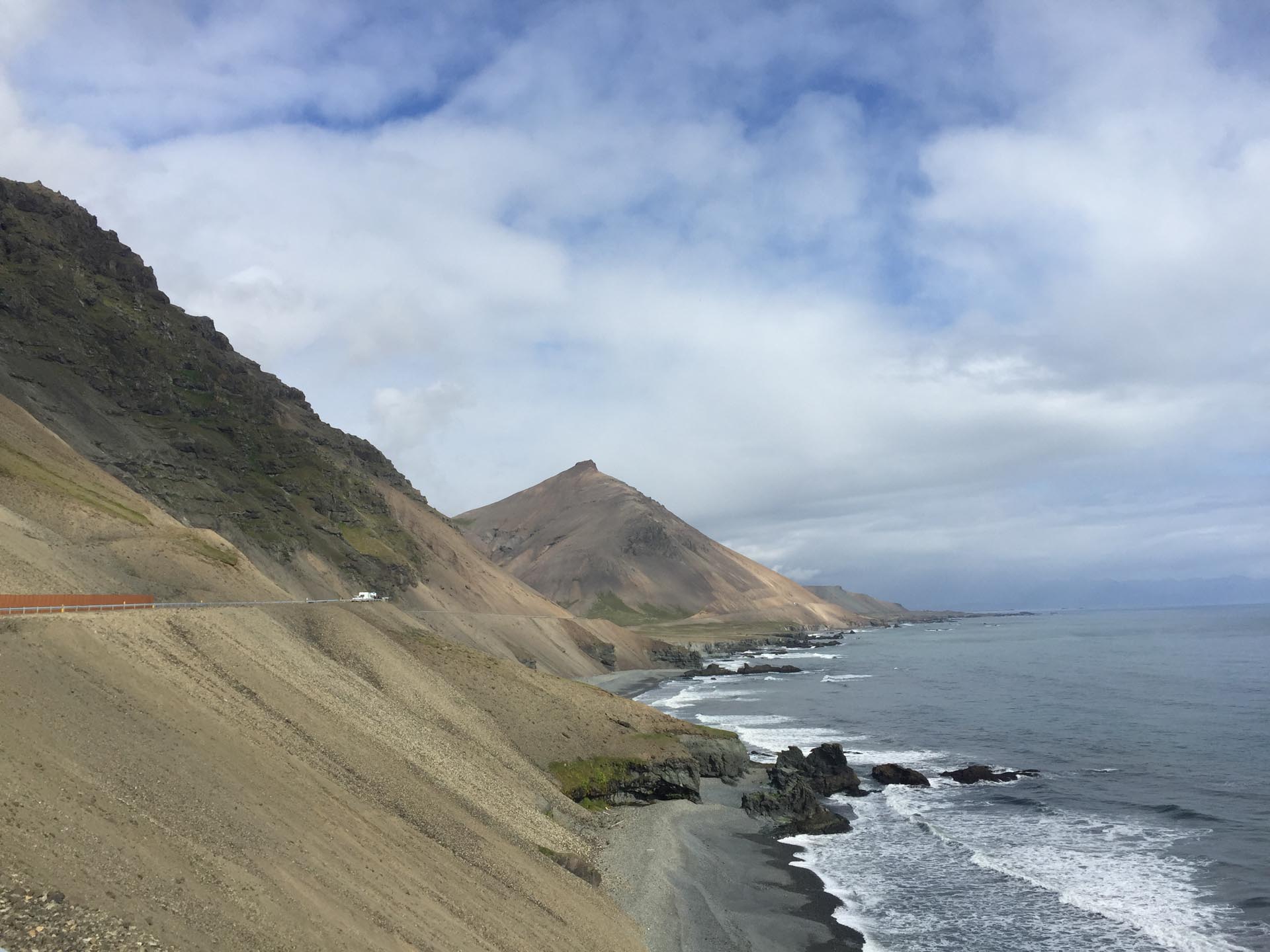
The landscape that can be appreciated from the south coast of the island is characterized by green mountains on one side and volcanic sand beaches on the other, enhancing the route with breathtaking views.
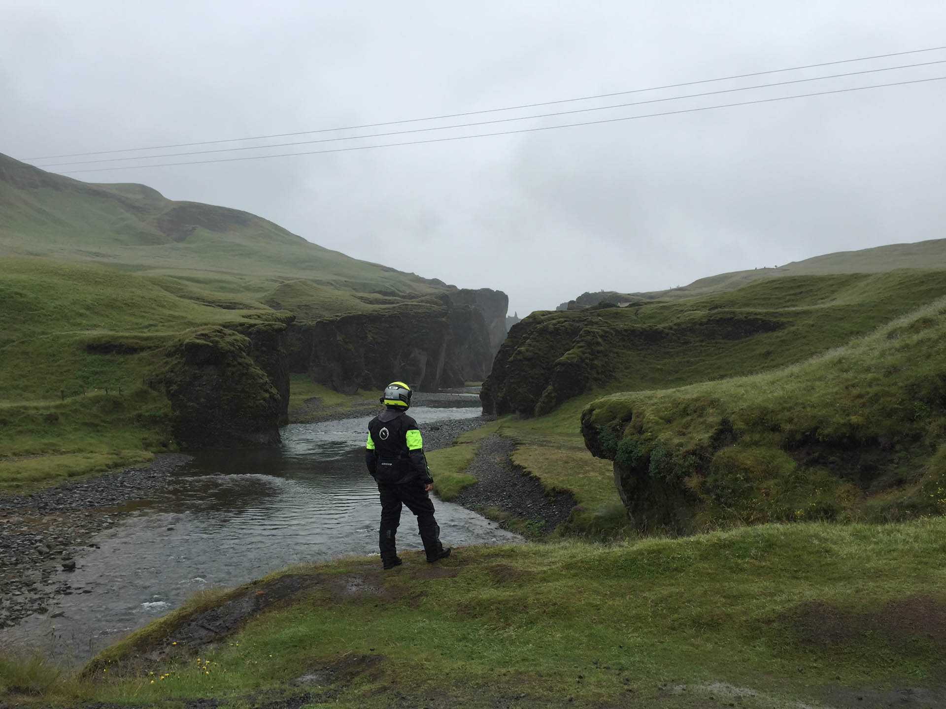
The massif is on our left hand side and from time to time waterfalls emerge between the ridges of the peaks. For example Seljalandsfoss, one of those waterfalls that can be seen from behind.
It is surprising how things are so close, you can almost touch the crystal clear water without getting off the bike.
Shortly after we reach the Eyjafjallajökull volcano, the one that had covered the skies of Europe in 2010 blocking air traffic.
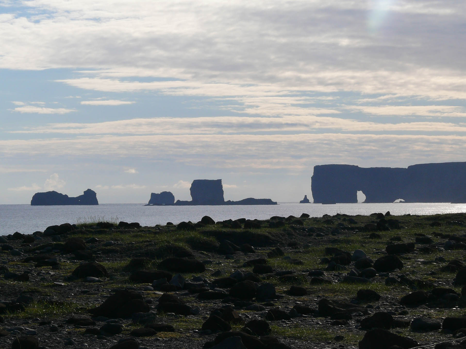
We won’t say that it is a picture postcard view, because, in fact, whichever corner of the island you focus on you can take catalogue-style photographs, just like the snapshot that can be appreciated by going up towards the cemetery of Vik I Myrdal village with the church and the ocean that stand out majestically on the black basalt cliff.

In school we study geology, what volcanoes are, the fault lines, the lava rivers, and the fact that Mother Earth is alive … but only by visiting this island can one experience it first-hand.
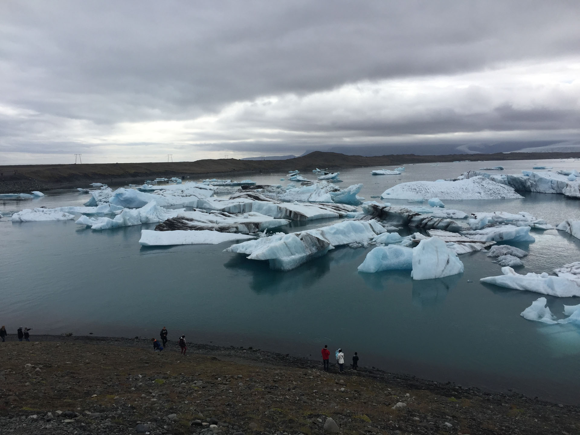
The landscape changes again, now the green hills on the left turn into a mountain chain which acts as a natural dam to the third largest glacier in the world, one of whose extremities flows into Lake Jökulsárlón, forming icebergs that then dissolve into the ocean.
It is a lake of about 18 square kilometres and only 80 years old. There are amphibious buses that take you inside to go and contemplate the dancing ice floes which were formed with water of over a thousand years ago.
Just one last part of the island is left before arriving at the port and on this side the N1 road is no longer paved but now becomes a compact track which makes us climb up the slopes to lands further north without ceasing to regularly grace us with small water falls.
We reached Gufufoss again having almost arrived at Seyðisfjörður and this time we took a good break at the waterfall that welcomed us at the beginning of these intense seven days of journeying.
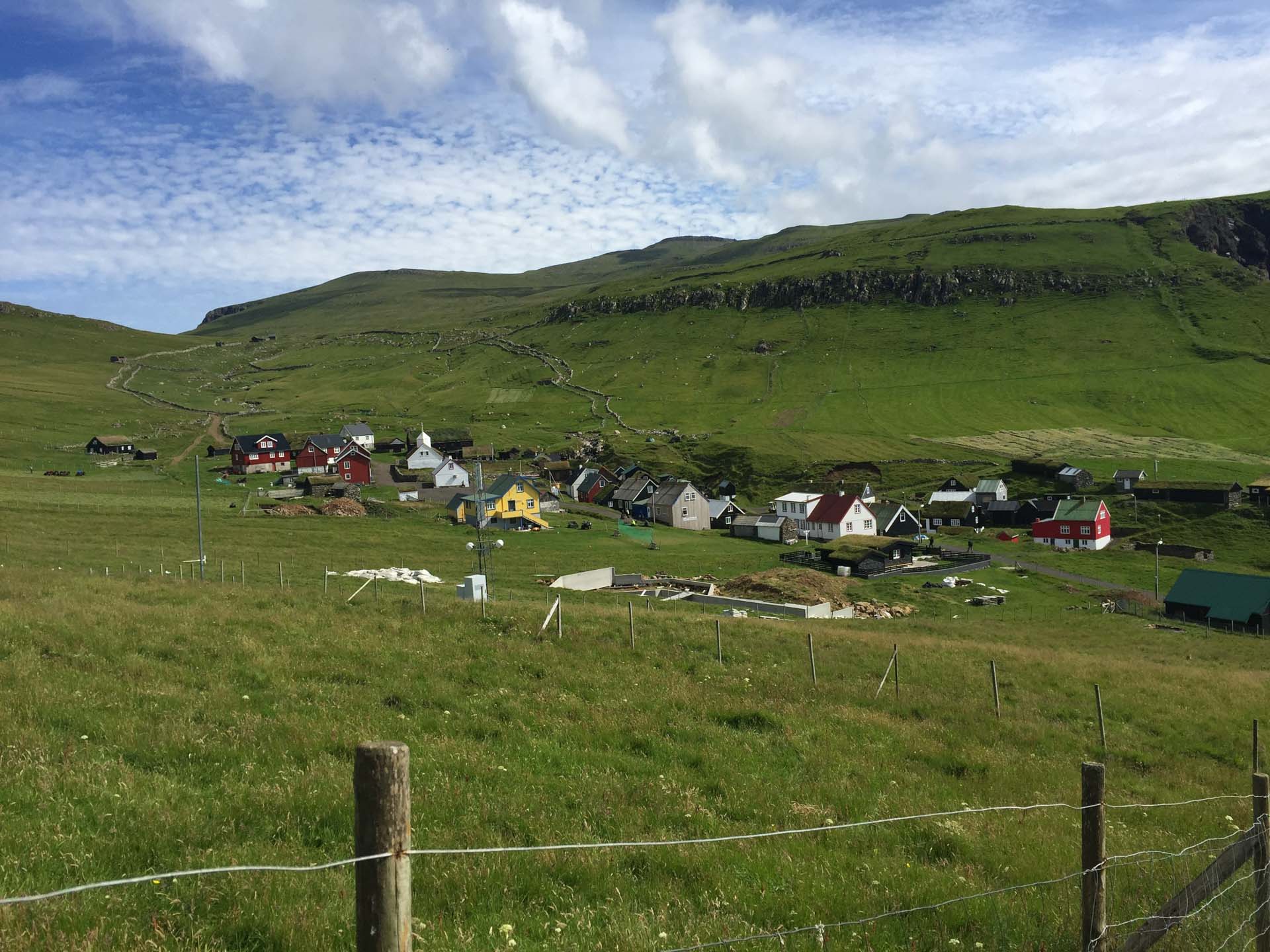
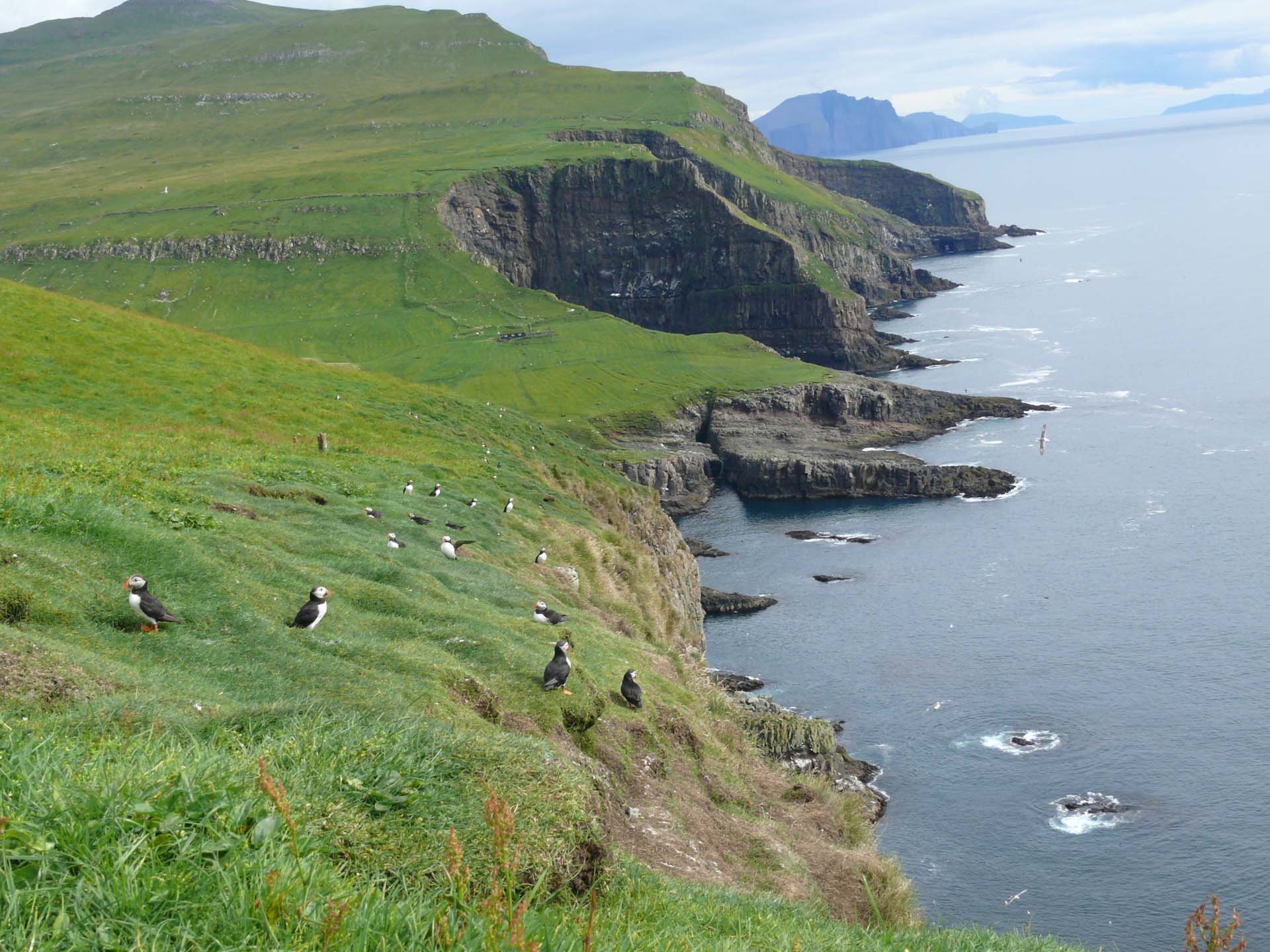
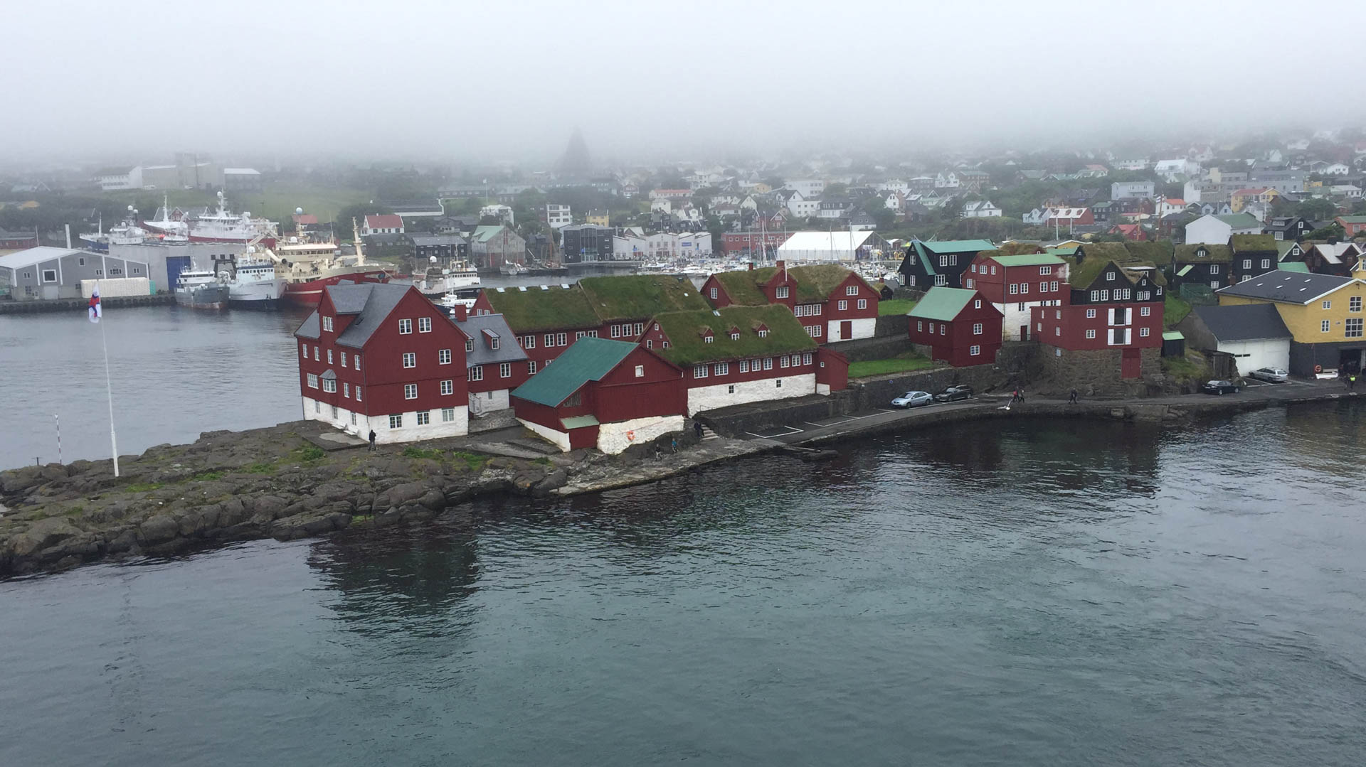
We get back on the Nörrona ferry headed for the Faeroe Islands and then to Denmark …
We were not mistaken in calling this adventure “Journey to the centre of the Earth” because if an entry point into our planet really exists then undoubtedly the access cave would be in Iceland.
Summarizing such a journey in a few lines is impossible: there are nuances, sensations, experiences, indescribable feelings that remain unexpressed, leaving a part of Iceland inside us and a part of us in Iceland.
Make sure that your dreams don’t just remain dreams.

THE PROTAGONISTS
THE PROTAGONISTS
Videos


